Case study · Project year 2026
Atlante Casa Italia
Nationwide map for exploring official residential OMI sale quotations across Italy by area, property type, and semester.
My role: Independent product builder; full-stack implementation and geospatial data publication
Outcome
Published both semesters from 2016 through 2025 with progressive map detail, compact search, historical comparisons, and shareable views.
From a local map to a nationwide atlas
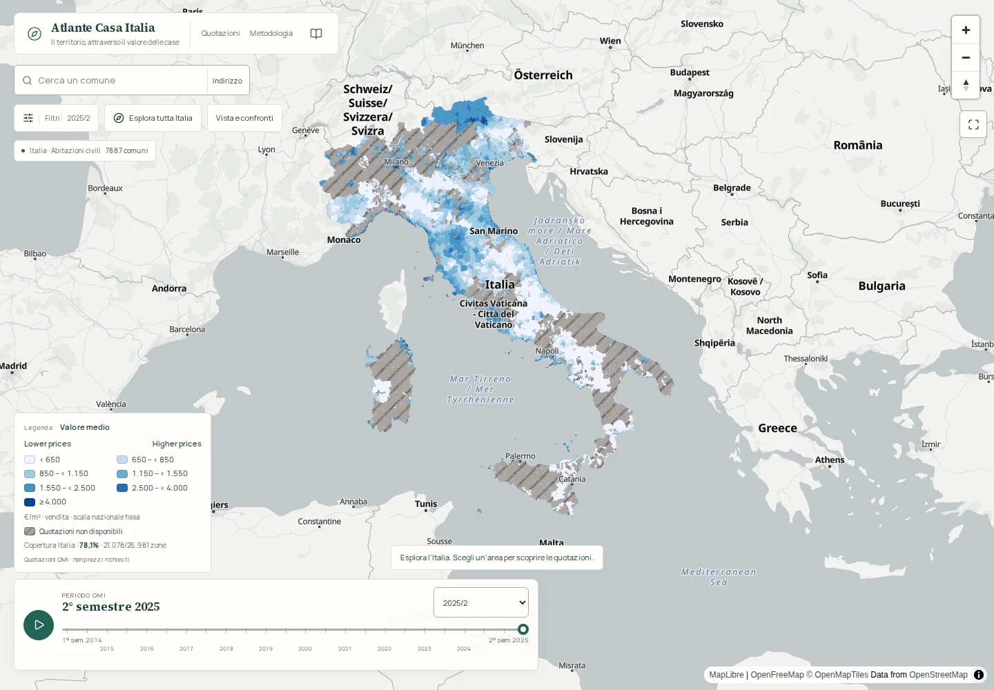
I expanded Atlante Casa Italia from a Trieste-focused explorer into a nationwide map of official residential OMI sale quotations. The live product covers both semesters from 2016 through 2025. The 2025/2 snapshot includes 26,981 zones across 7,887 municipalities.
The map stays central to the experience. A lightweight national overview makes Italy immediately explorable, while detailed zone polygons load progressively as the visitor zooms or selects an area. This avoids transferring the entire national geometry before it is useful.
Finding a place, then understanding it
Compact controls support municipality search, address search, semester and residential property-type filters. Selecting a zone or municipality opens its details and historical comparison without replacing the map as the main point of reference.
The selected place and filters can be retained in a shared URL. That turns an exploratory map state into a view someone else can reopen, compare, and discuss without repeating the same navigation.
What the quotations establish
OMI quotations are official sale-value ranges for a property type within a market zone and semester. They provide area-level context; they are not asking prices, completed-sale records, or a valuation of an individual property. A specific home can differ because of condition, floor, exposure, exact position, and other characteristics outside the zone range.
The product keeps asking-price data separate. That flow remains a placeholder and is not presented as a valuation source. The live nationwide scope described here is limited to residential OMI sale quotations; broader all-use 2025 data is not included.
Delivered scope and limits
The delivered result is a responsive public explorer with national navigation, progressive polygons, search, filters, zone and municipality details, historical comparison, and shareable views. The 2025/2 record counts establish the scale of that published snapshot rather than traffic, adoption, or commercial impact.
Coverage does not mean that every mapped area has a quotation for every residential type. The interface preserves unavailable values instead of filling gaps, and the public product does not claim appraisal accuracy, investment returns, or asking-price coverage.
From national overview to a comparable place
- 01
Find an area
Search a municipality or address, or navigate directly on the national map.
- 02
Load relevant detail
Fetch zone polygons progressively and apply semester and residential type filters.
- 03
Compare and share
Review zone or municipality history and retain the selected view in a shareable URL.
Product screens
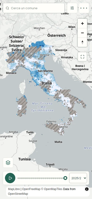
Mobile capture of the live public explorer.
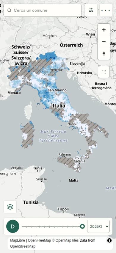
Live mobile view · Oct 2026
Technology focus
- Next.js
- MapLibre
- PostGIS
- Geospatial Data
Evidence and further reading
Evidence reviewed . Project year is separate from this review date.
- Explore Atlante Casa Italia and its methodology (opens in new tab)
Nationwide map, responsive controls, residential filters, historical views, and quotation limits reviewed 1 October 2026.